About us
SynergyX is a Saudi-based technology company pioneering the use of AI in agriculture. We empower organizations with advanced drone technologies and innovative digital solutions that enhance operational efficiency, safety, and data-driven decision-making.
As a trusted partner representing leading global players in AI and technology, we provide tailored solutions to government entities and enterprise clients across the Kingdom, driving national transformation and sustainable growth.
Elevating Agriculture & Infrastructure with Drone Precision

AI-Powered Agricultural Insights
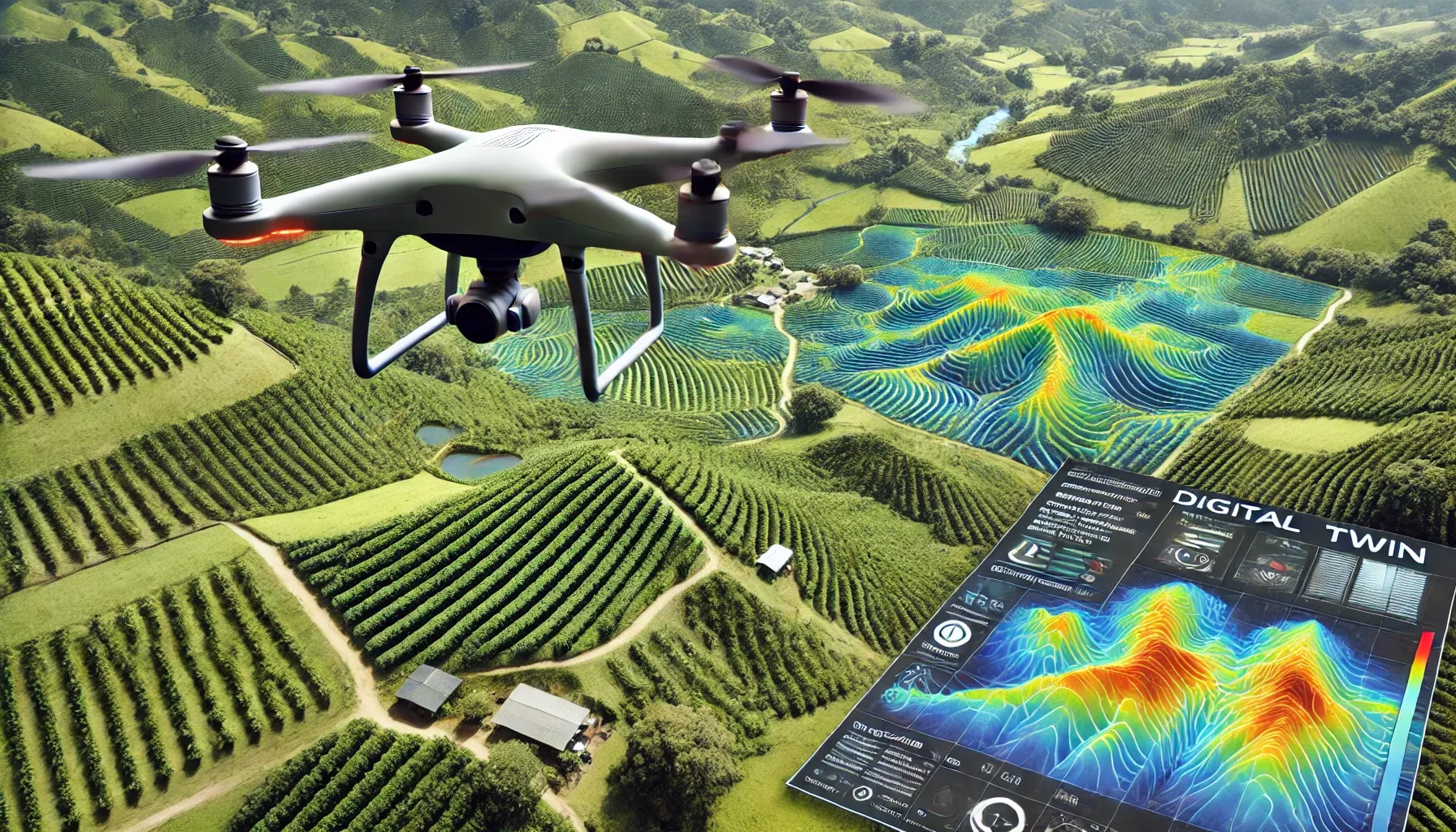
We provide intelligent agricultural drone solutions equipped with multispectral and thermal sensors that collect and analyze data using AI to detect crop stress, pests, and nutrient deficiencies early. Our machine learning models predict yield and optimize irrigation, while interactive dashboards deliver real-time farm analytics, helping farmers boost productivity, reduce costs, and manage their land more intelligently and efficiently.

Precision Agriculture & Reforestation
We provide precision drone services designed for smart spraying, seeding, and reforestation. Our AI-optimized missions ensure accurate coverage, reduce chemical use, and minimize labor exposure while enabling faster, safer, and more efficient operations even in challenging terrains. Using aerial seeding technology, drones disperse seedballs in targeted areas to restore vegetation, stabilize slopes, support biodiversity, and improve long-term soil health.

Infrastructure Inspection
We deliver advanced aerial inspections for infrastructure, including buildings, utilities, and energy facilities. Our drone solutions enhance operational efficiency and safety, especially in the oil and gas sector. By monitoring pipelines, flare stacks, and remote assets in real time, we help reduce risks, cut costs, and improve maintenance planning through intelligent data collection and analysis.
Aerial Thermal Imaging & Mapping
We offer advanced drone-based solutions for aerial imaging and topographic mapping. Our technology enables accurate and efficient data collection for surveying, planning, and inspection across various industries. By generating high-resolution spatial maps, we help organizations optimize operations, monitor large areas, and make better-informed decisions with speed and precision.